
Geospatial Mapping, LiDAR & Reality Capture
Airborne, mobile, and terrestrial scanning for complex sites: land, air, or below, we can survey or scan it.
Send Us Your ProjectMore than impressive 3D imagery
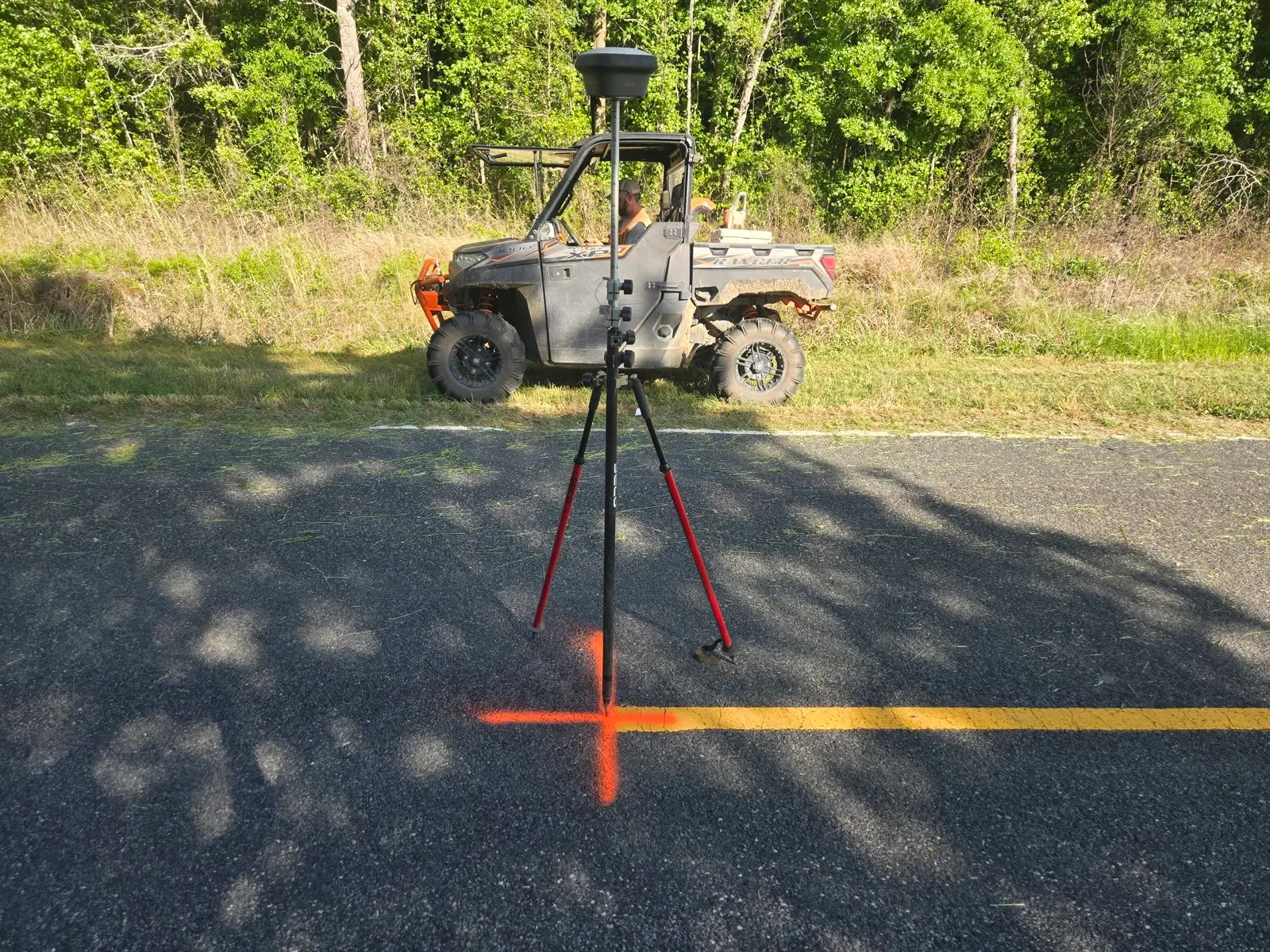
Some projects require more information than can be collected efficiently with conventional field methods alone. Georgia Land Surveying Company uses airborne LiDAR, mobile mapping, terrestrial laser scanning, photogrammetry, and survey-grade control to document large sites, complex structures, corridors, utilities, terrain, and hard-to-reach environments.
Our work is not limited to producing impressive 3D imagery. We collect and organize geospatial data so it can be used by surveyors, engineers, architects, contractors, property owners, and public agencies for design, planning, documentation, construction, and decision-making.
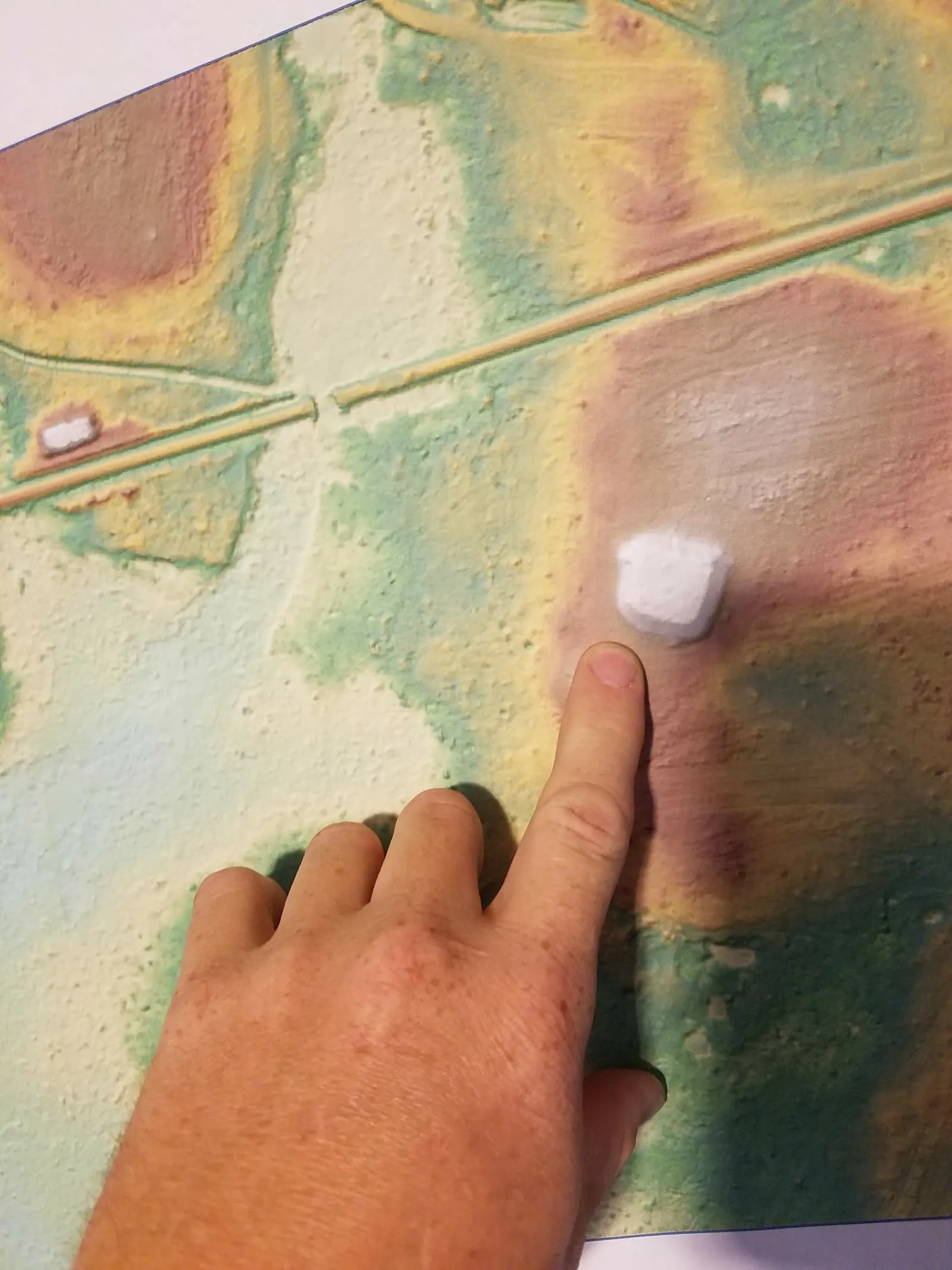
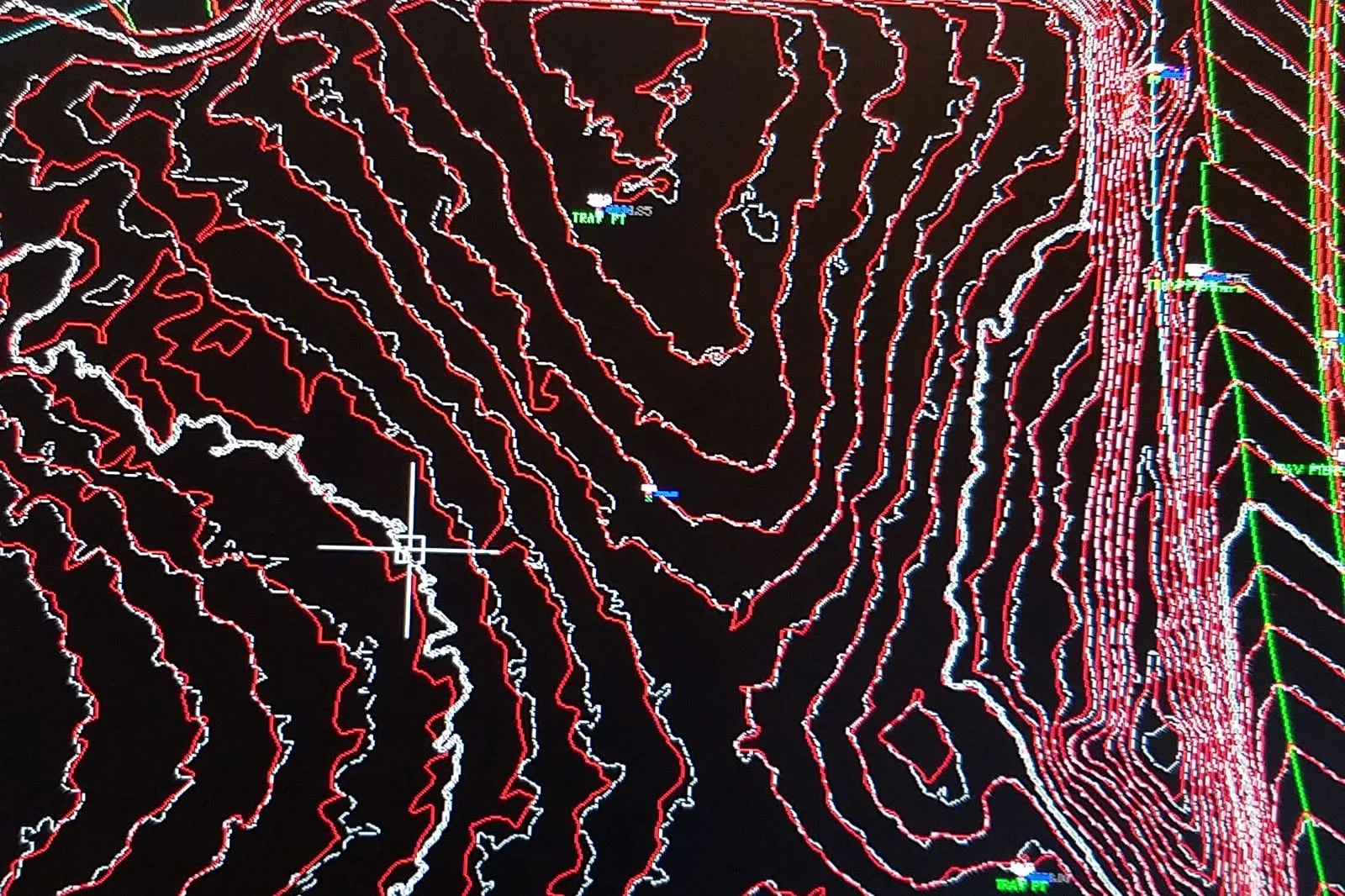
The deliverable may be a topographic map, classified point cloud, orthophoto, CAD base file, 3D model, mesh, cross section, utility exhibit, as-built survey, or a custom geospatial dataset built around the needs of your project.
And we keep the entire workflow in house. We do all of our own data processing and do not sub any of it out to other companies, so from the moment we capture a site to the moment we deliver, your project stays with the team that flew it.
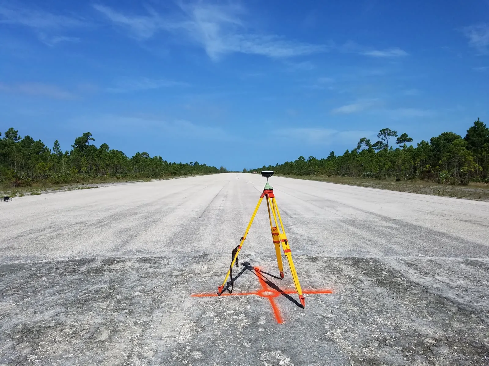
We are also a little unusual in the remote-sensing world: we are surveyors first. We understand the importance of accuracy, datums, and map projections, and we are comfortable working in this constantly-changing 3D environment.
That surveying background carries straight into our processing. We are equipped for feature extraction, including:
- Stream & shoreline extraction
- Roadway features
- Tree extraction & segmentation on wooded sites in leaf-off conditions
A survey-grade point cloud, flown by GLS
This is real project data: a helicopter LiDAR flythrough of a Georgia corridor, colored by elevation. Every point is a measurement.
Airborne LiDAR & Aerial Mapping
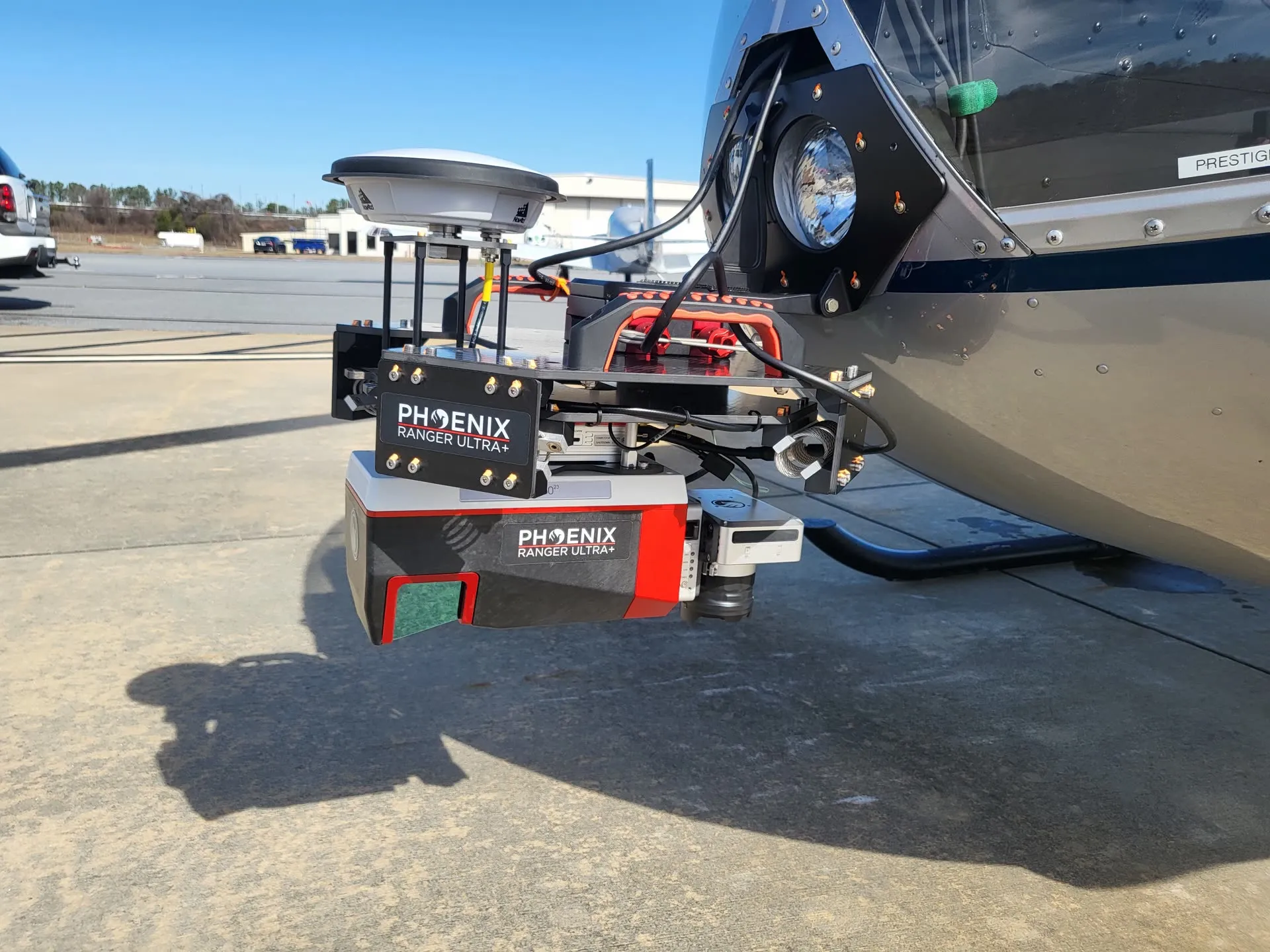
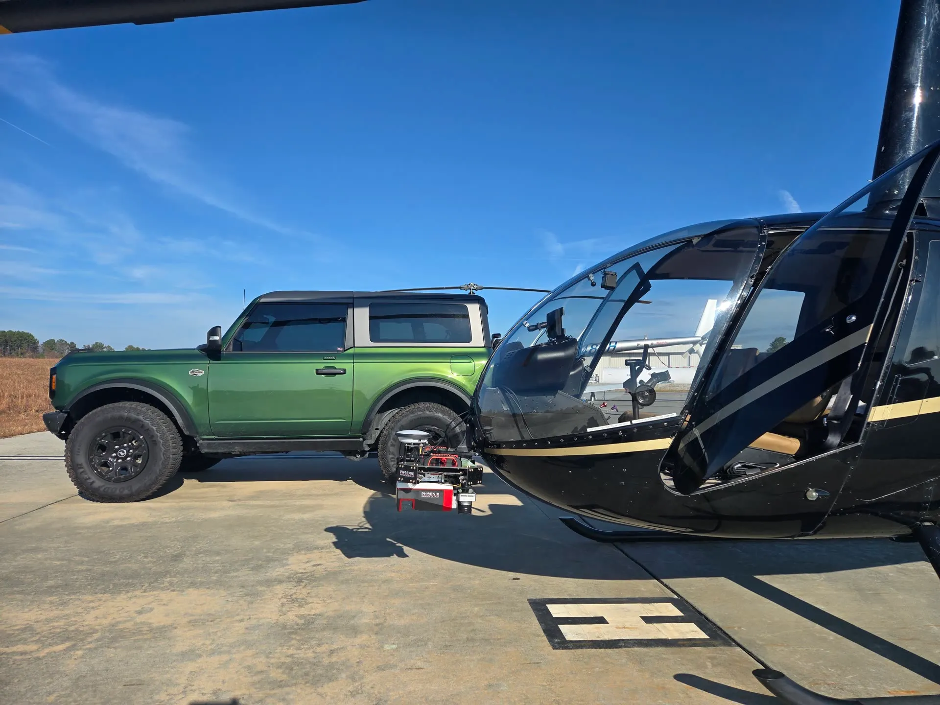
Every site is different, and we maintain a large inventory of equipment to match. Some sites require a manned aircraft because of FAA regulation or a requirement for American-made equipment. In that case we fly our Robinson R66 helicopter carrying a Phoenix 160 LiDAR system and Phase One aerial camera, piloted by our own president.
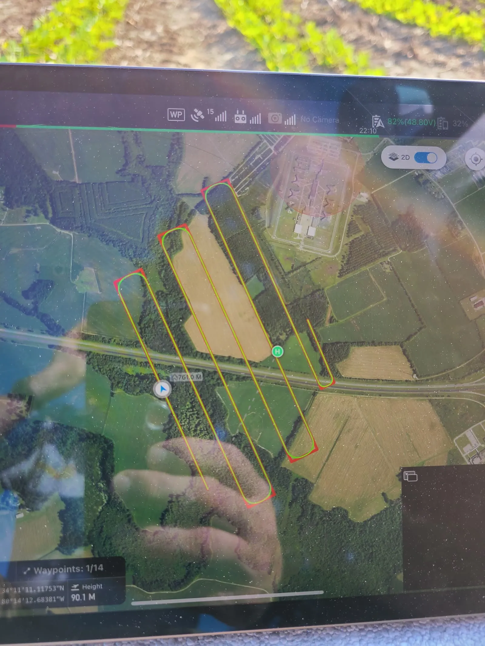
On other sites it makes more sense to fly a UAV with our RIEGL VUX-1 LiDAR system: same survey-grade result, right-sized cost.
- Corridor & route mapping
- Large-site topographic surveys
- Bare-earth terrain under tree canopy
- Classified point clouds & contour mapping
Mobile Mapping
Mobile mapping combines positioning, imagery, LiDAR, and field data collection to document long corridors and complex environments efficiently.
This approach shines on roadway corridors, utility systems, industrial facilities, campuses, rail environments, large construction sites, and site inventories: any project where the relationship between many features matters as much as each individual feature.
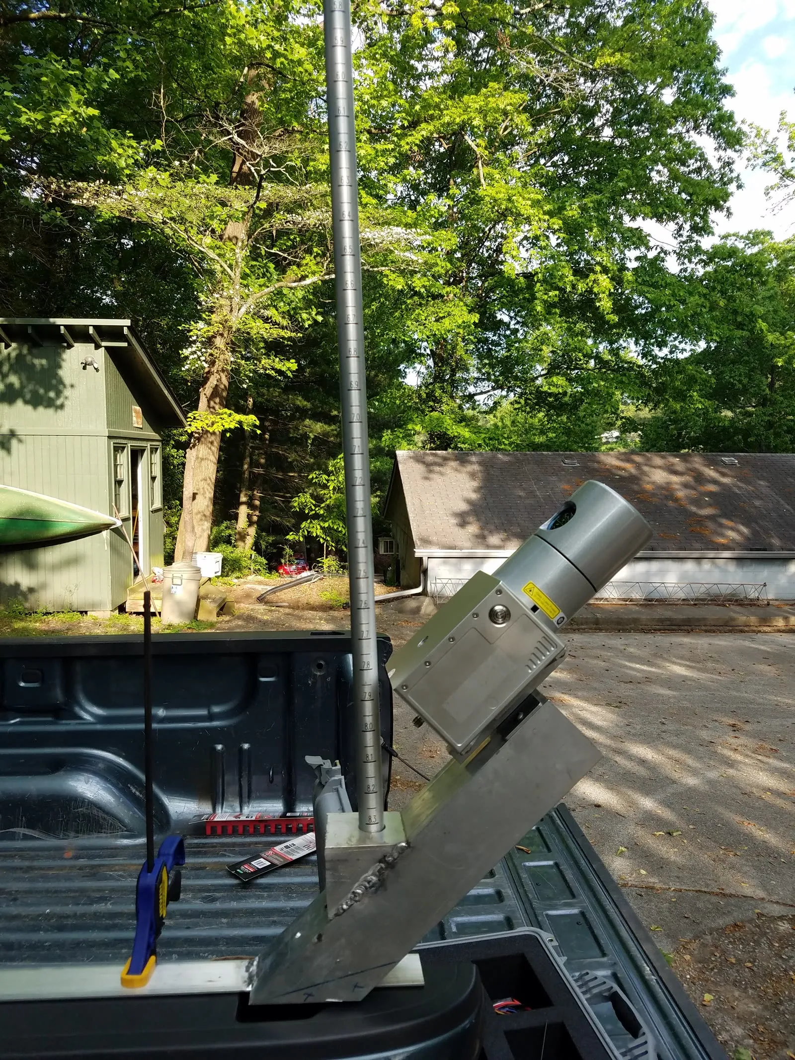
The result is a dense, georeferenced record of existing conditions that can be revisited in the office long after the field crew has left the site. And when the job moves into confined spaces or underground utility mapping, our Leica RTC500 mobile scanner is the right tool.
Terrestrial Laser Scanning
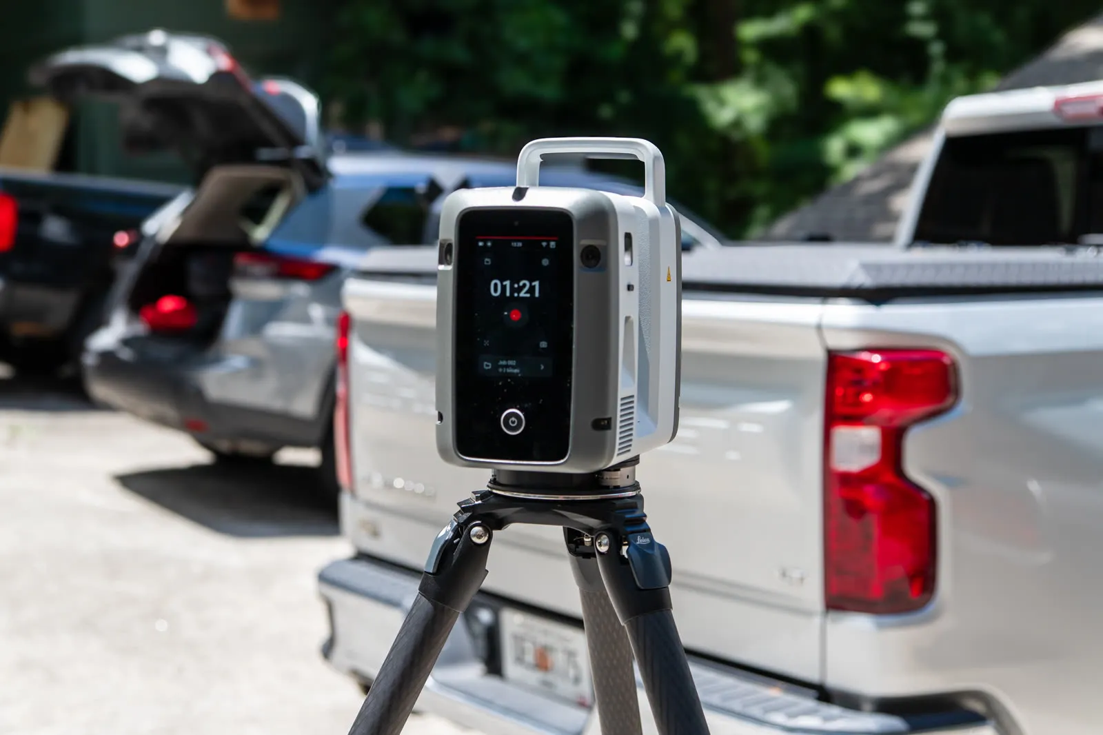
For structures, building interiors, bridges, plants, and tight urban sites, terrestrial laser scanning captures millions of precise measurements from each setup, a complete 3D record of existing conditions.
We use terrestrial scanning for as-built surveys, architectural documentation, deformation and clearance analysis, and anywhere conventional methods can't capture enough detail, or can't safely reach.
- As-built & existing-conditions surveys
- Building & structure documentation
- Confined-space & interior mapping
- 3D models, meshes & cross sections
Aerial Photography & Photogrammetry
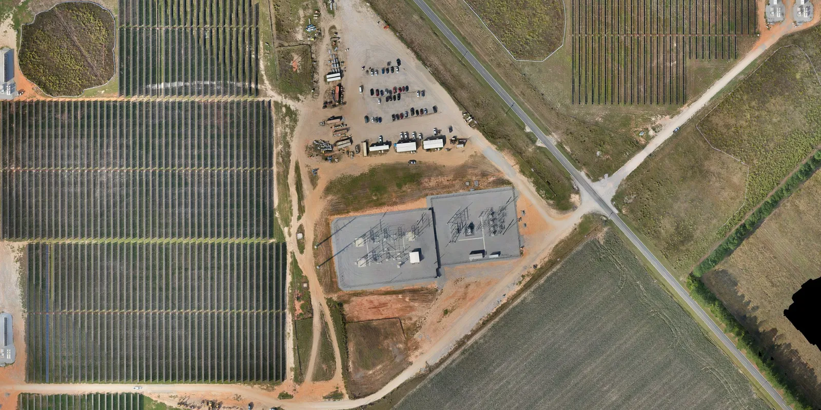
High-resolution orthophotos and photogrammetric mapping give a project true-to-scale imagery that measurements can be pulled from, flown by UAV or from our helicopter with a Phase One aerial camera, and tied to survey-grade ground control.
Combined with our LiDAR and GIS capabilities, imagery becomes a working dataset: planimetric mapping, GIS layers, hillshades, and exhibits your whole team can use.
 Zoom 1 of 7 · double-click to zoom in
 From point cloud to product
Whether it's land, air, or below, we can survey or scan it
Email us your project and let us put a cost together for you.