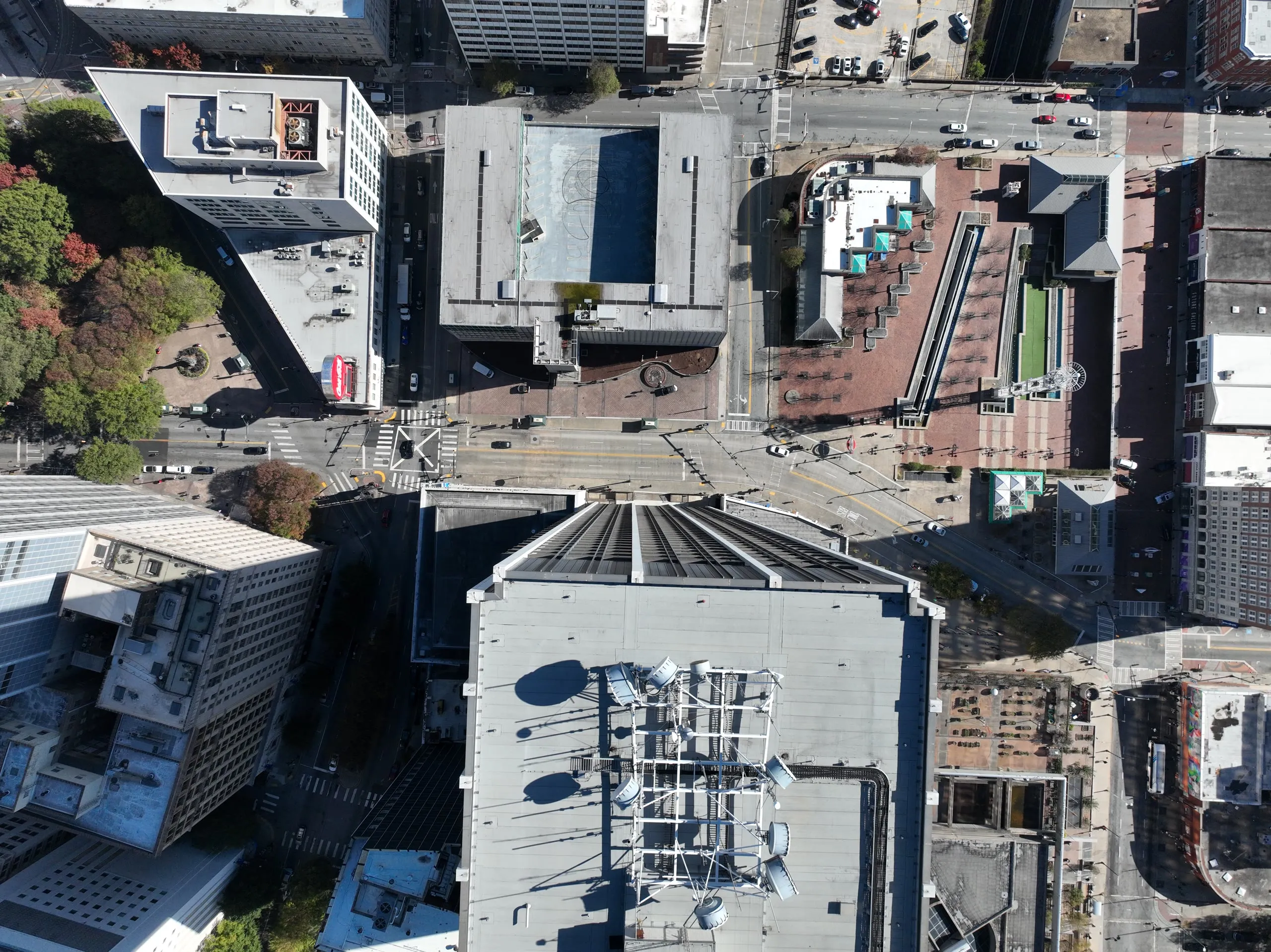
Commercial Surveying
ALTA surveys, boundary retracement, and due-diligence surveys for complex properties and serious projects, backed by the largest collection of surveys and land records in Georgia.
Commercial services
Georgia Land Surveying Company is a family-owned land surveying and remote sensing firm specializing in both standard survey services and complex boundary, mapping, and measurement problems. From residential surveys to expert-level research and difficult site conditions, we help clients find answers where the solution is not always obvious.
Live helicopter LiDAR: the river corridor as our sensors see it
Georgia Land Surveying Co. is a multi-generational land surveying firm specializing in commercial land surveying, expert witness consulting, and aerial mapping. With a strong background in land records, technology, and experience, we are the firm clients call when they need solutions to difficult problems.
If you have been told that it is impossible, then you have arrived at the right place.
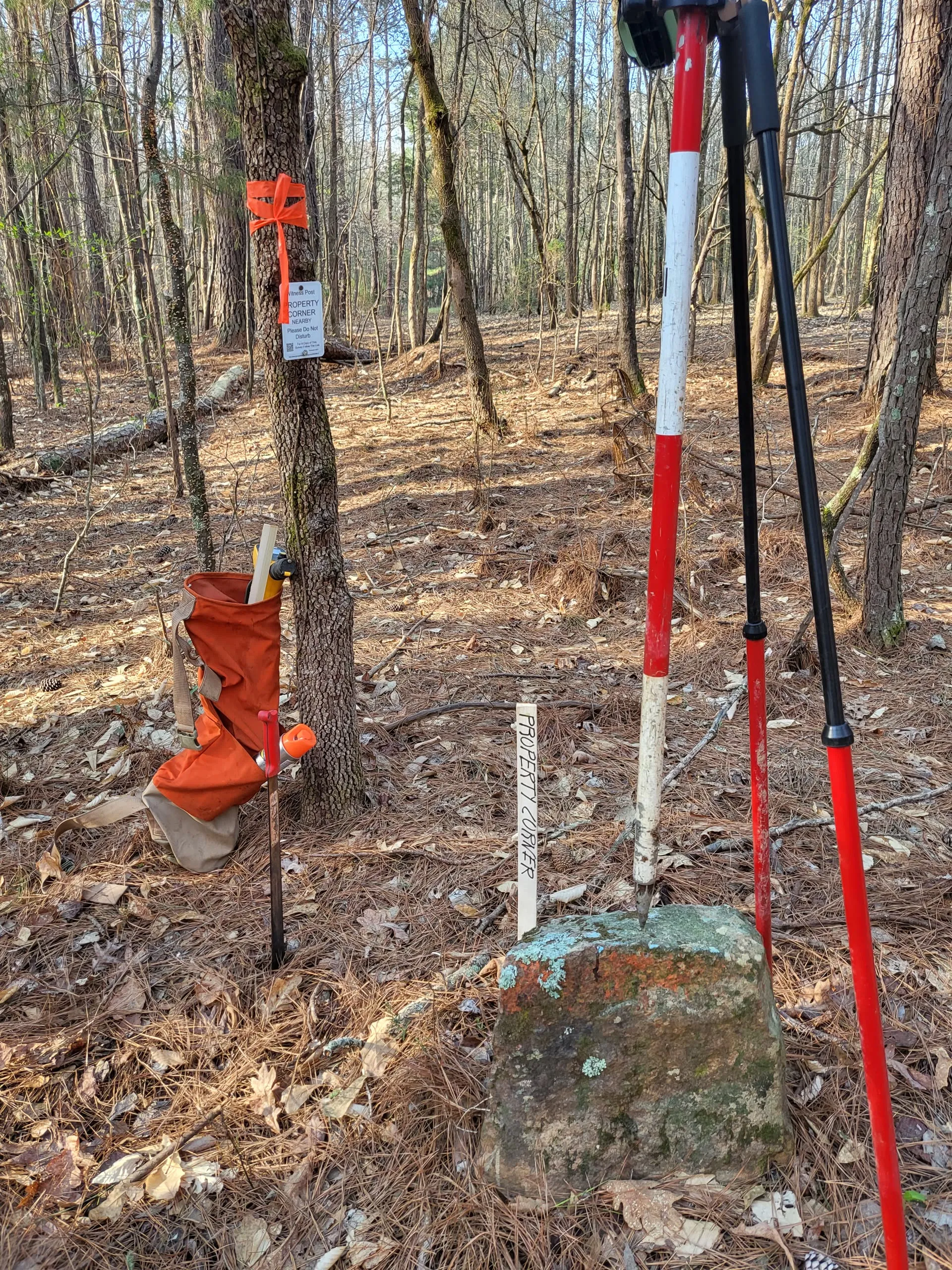
From a single residential lot to statewide aerial mapping: air, mobile, and terrestrial.
ALTA surveys, boundary retracement, and due-diligence surveys for complex properties and serious projects, backed by the largest collection of surveys and land records in Georgia.
Commercial services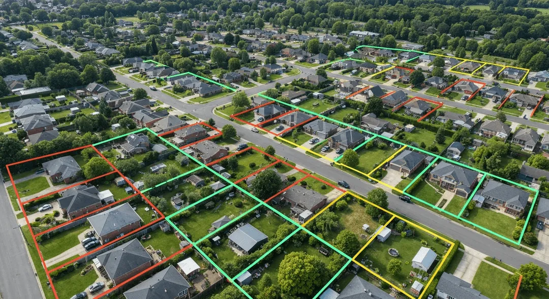
A leading residential surveying firm in metro Atlanta since 1955. Boundary surveys quoted within 24 hours, drawn from records that often predate the county's own files.
Residential services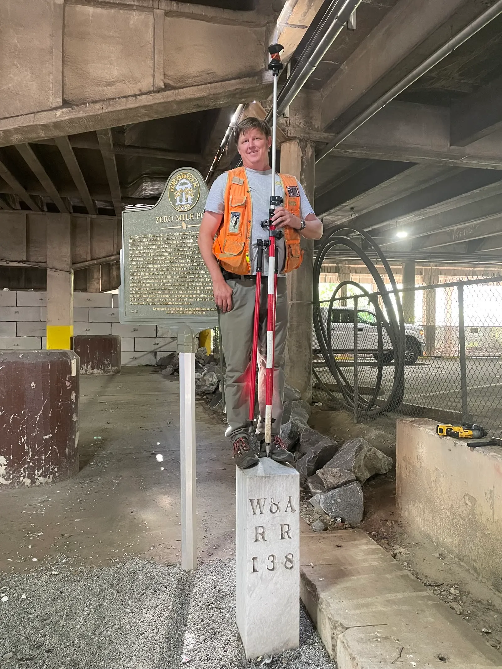
Testifying expert services for property disputes, adverse possession, accident and crash-scene reconstruction, including the winning expert work in Georgia's 2025 real property case of the year.
Expert witness services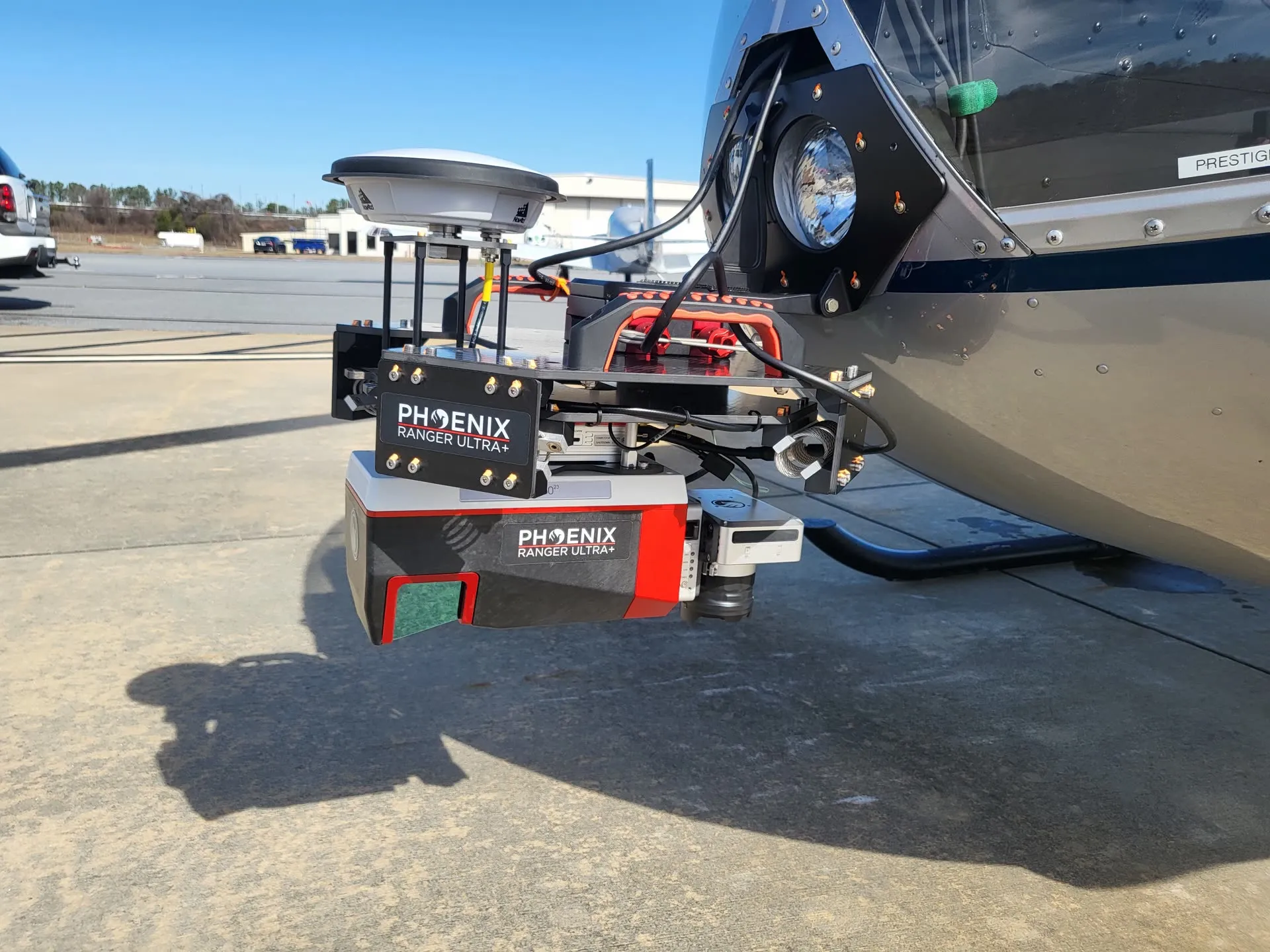
Helicopter and UAV LiDAR with survey-grade control for corridors, large sites, and terrain, flown in-house from our Robinson R66 and drone fleet.
Airborne services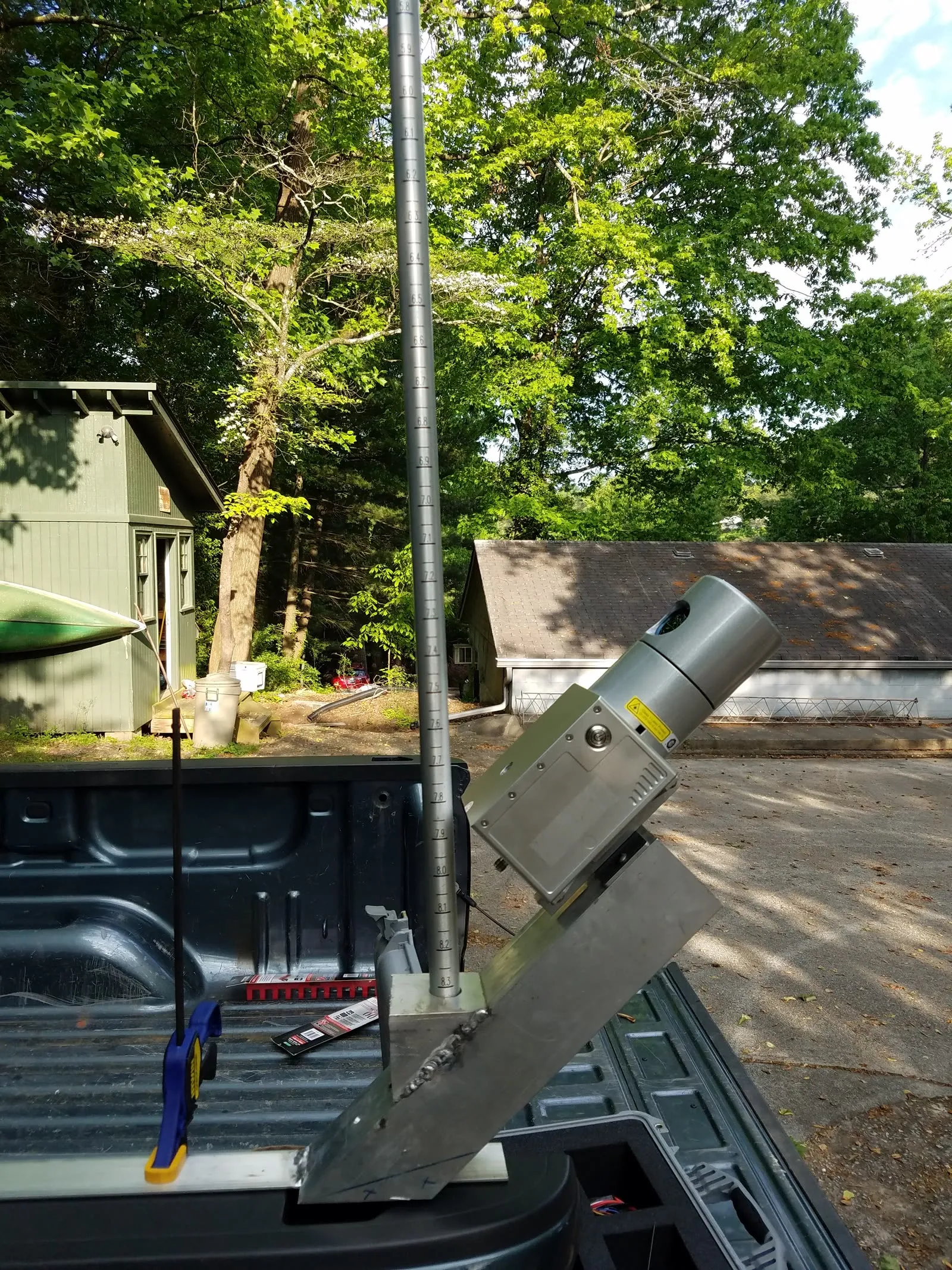
Mobile mapping for roadway corridors and campuses, plus terrestrial laser scanning for structures, as-builts, and confined or hard-to-reach environments.
Scanning services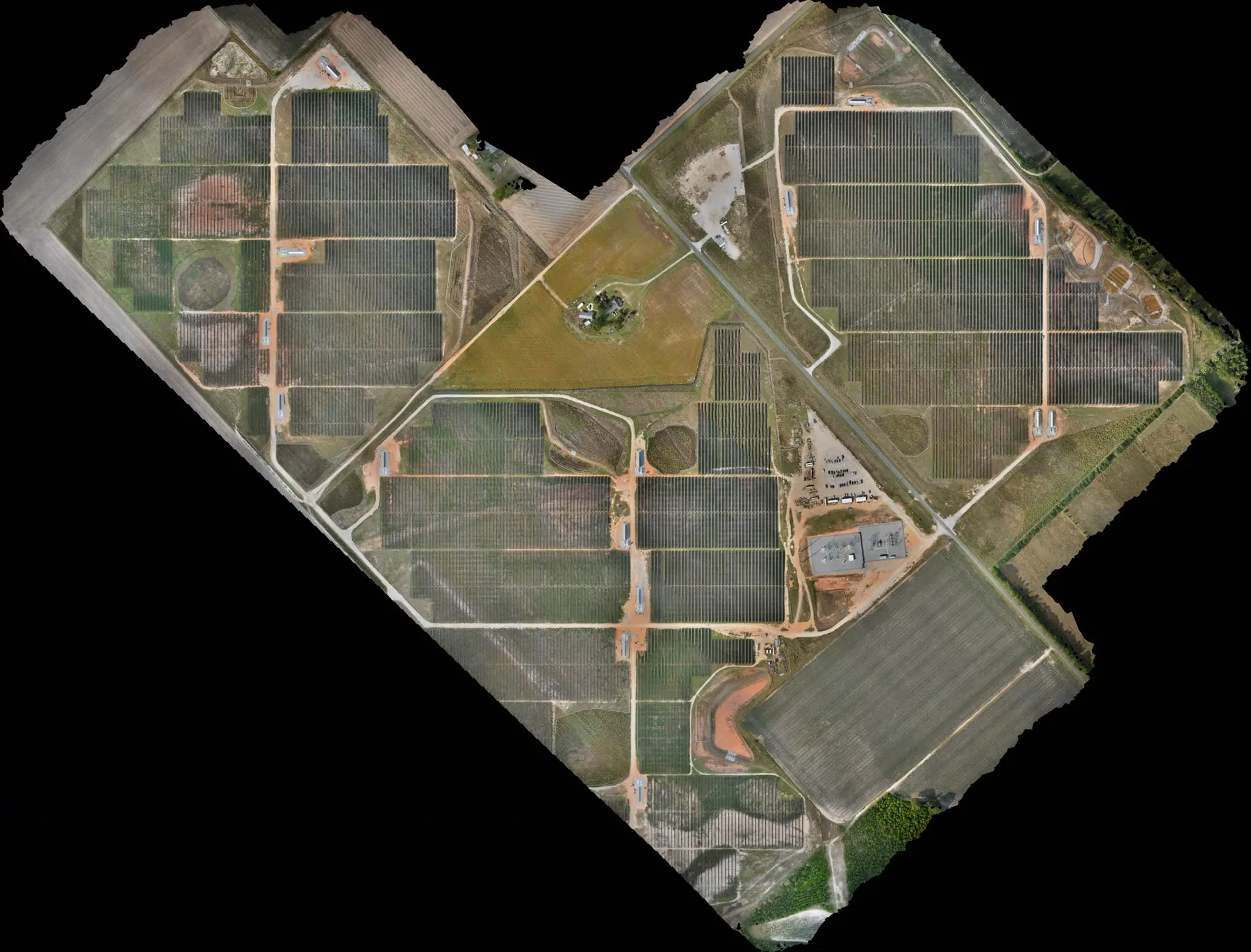
Orthophotos, photogrammetry, and custom geospatial datasets organized so engineers, architects, contractors, and agencies can actually use them.
Aerial & GIS services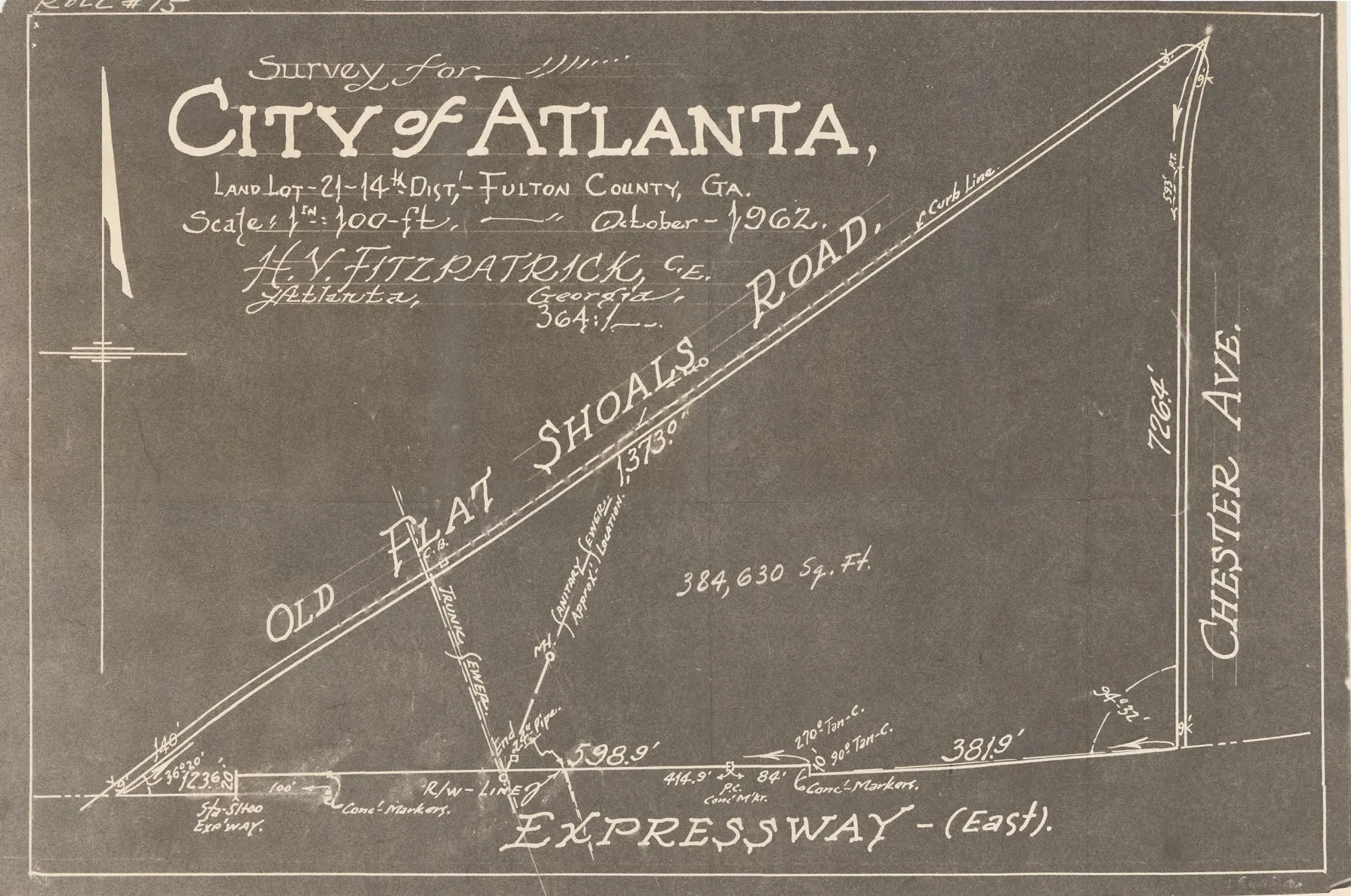
In more than 70 years of continuous practice we have compiled an enormous archive of surveys and land records (better records than the Clerk of Court holds in many metro Atlanta counties). We are routinely asked to provide missing or illegible documents to the county and court system.
When a 100-year-old property has conflicting legal descriptions, measurements alone will not solve the problem. Research does. That archive, combined with our legal knowledge of land surveying, lets us solve boundary problems and prevent costly litigation.
Our storyTell us about your project. Most quotes are returned within 24 hours.